Geospatial
The whole world on one globe, live: what flies, what sails, what stands on the ground and what is happening there now.
Join the waitlistEverything in the sky, as it moves
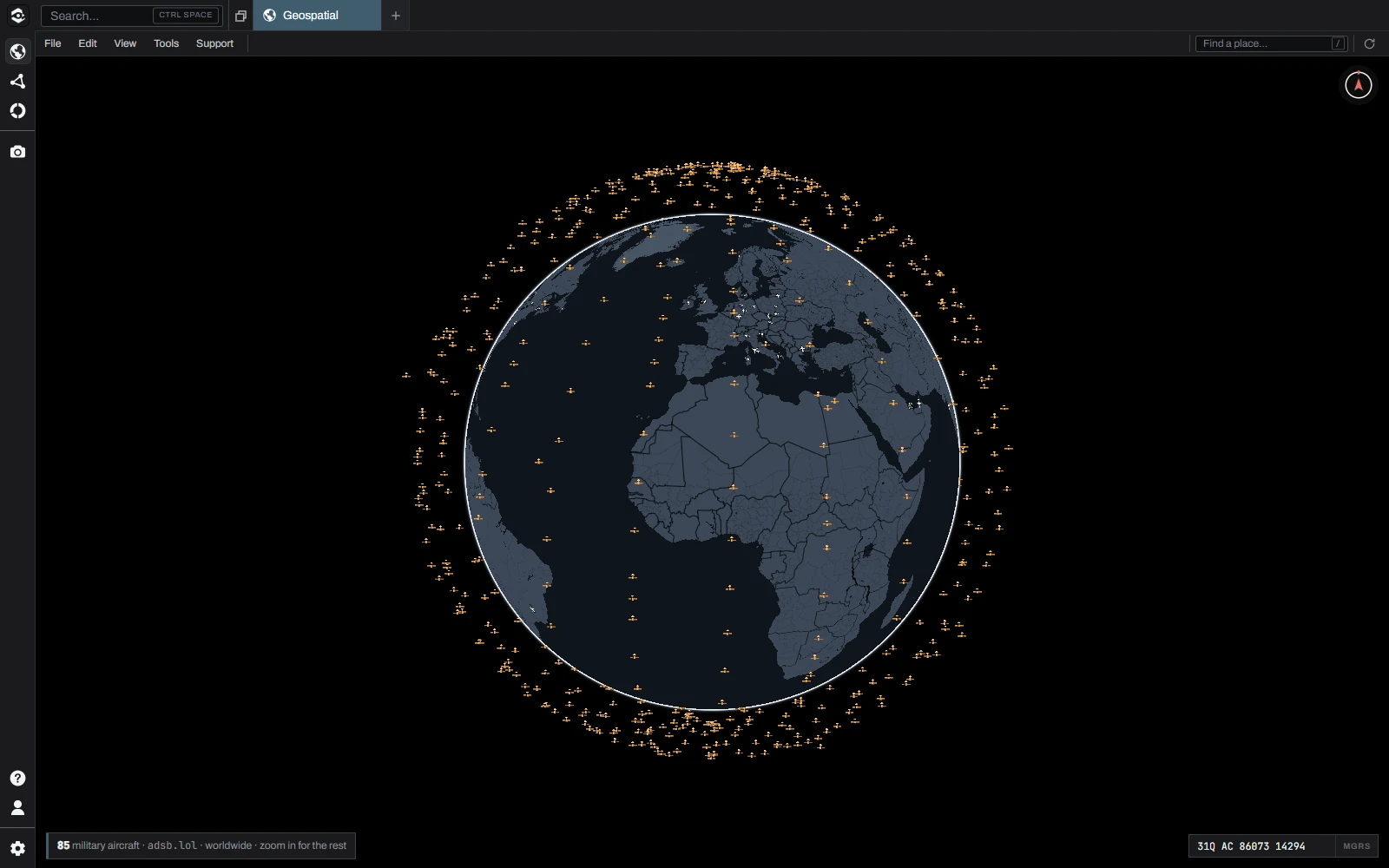
Aircraft worldwide, at their altitude and drawn as what they are, and every satellite in its orbit with what it is and who flies it. Follow any of them, and the camera stays with it.
Know the ground
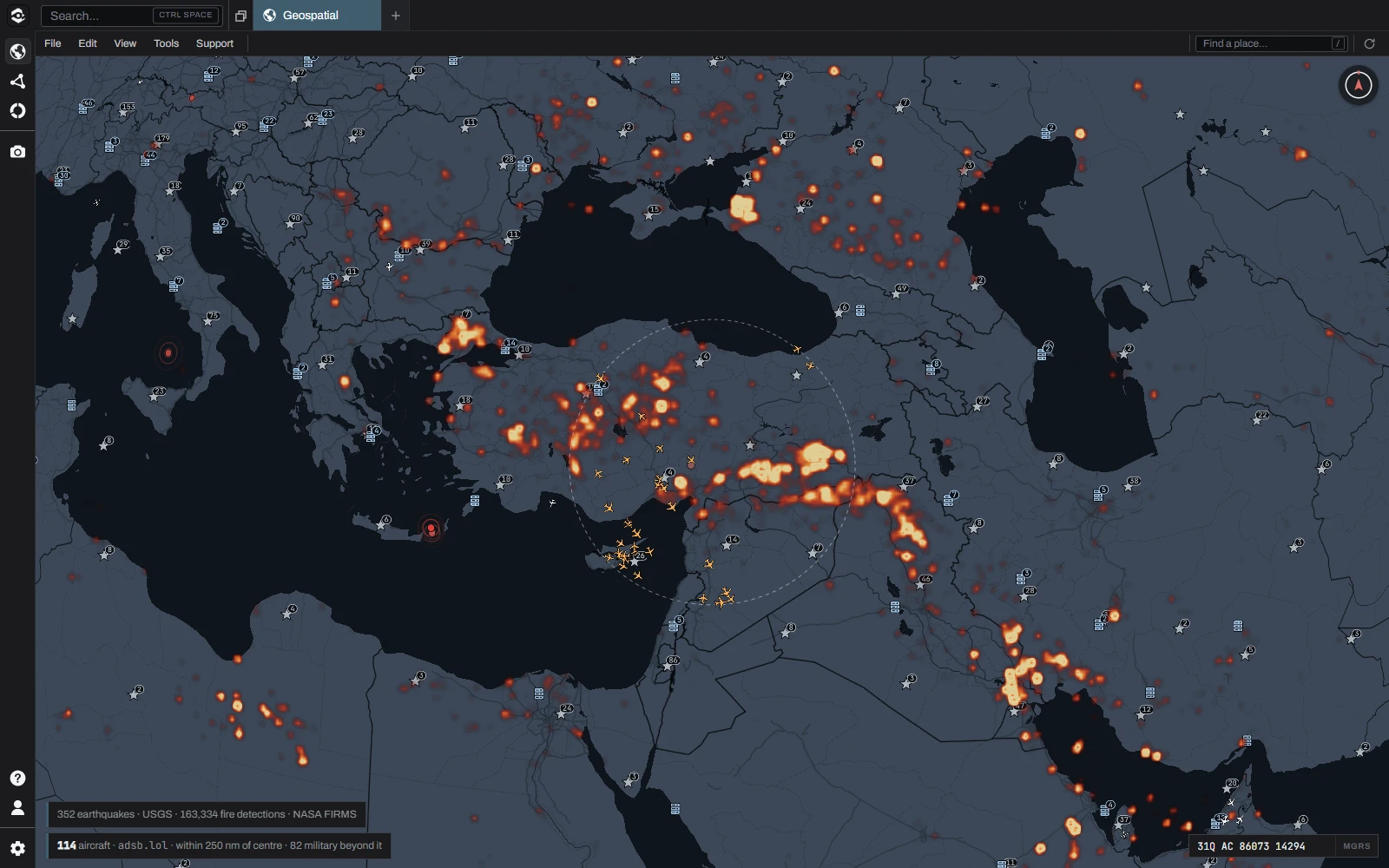
Military bases and nuclear sites, pipelines, datacenters and dams, with earthquakes, fires and rocket launches as they happen. Every layer is one switch, and every point opens into what is known about it.
The sea lanes
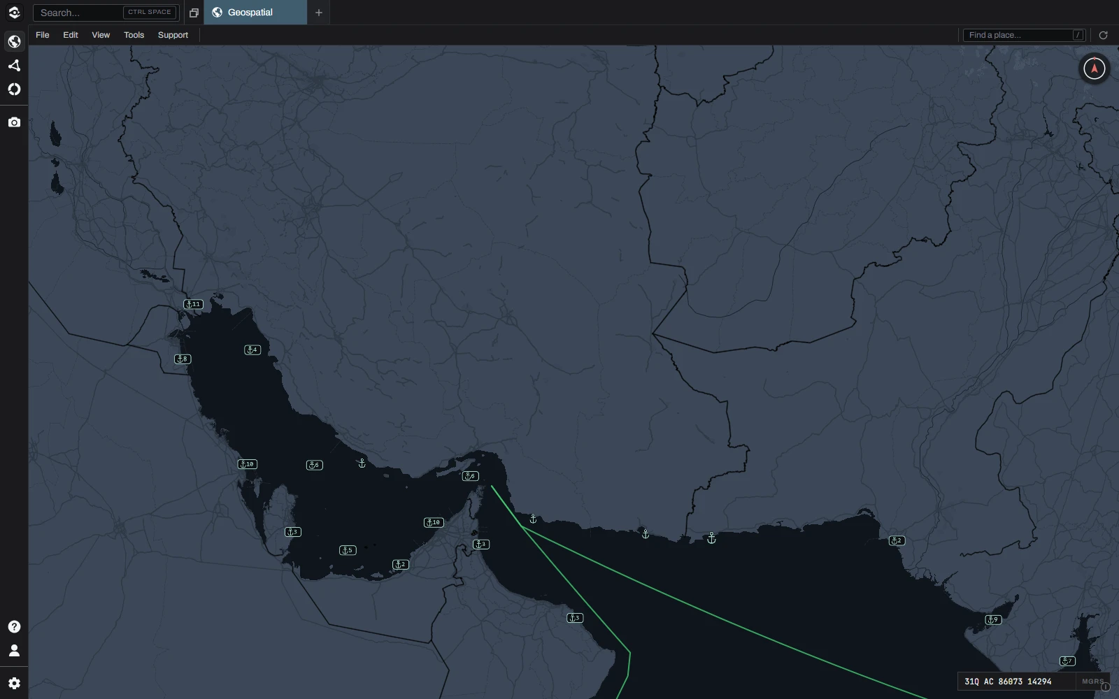
Ports, chokepoints and the lanes ships actually sail, traced on measured water, and live ships through your own key. See what passes through a strait, and what waits outside it.
What is in it
- Live aircraft
- Satellites and their orbits
- Live ships
- Ports, chokepoints and shipping lanes
- Military bases and nuclear sites
- Pipelines, datacenters and dams
- Earthquakes, fires and launches
- 3D terrain and buildings
- Day and night
- Satellite imagery
- Offline maps from your own files
- MGRS grid
- Distance, area and radius
- Line of sight
- Range rings
- Geofences
- Bullseye
- Military symbols
- KML, KMZ, GPX and GeoJSON
- Ask the map
Every source is open or licensed for commercial use, and credited inside the app.